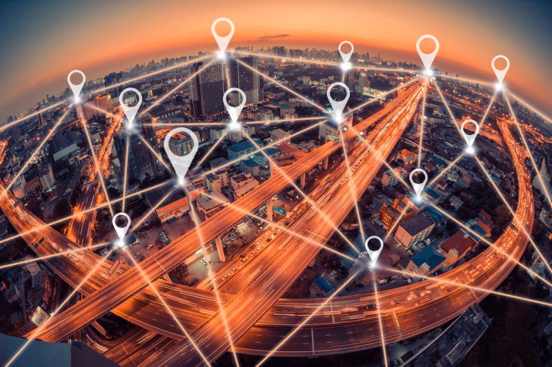
Over the past 20 years, a host of new technologies has created a quantum leap in the way many companies do business. The geolocation of mobile devices, IoT devices, and IP addresses has opened up a universe of new opportunities.
The ability to trace products and processes that require constant, real-time attention has forever changed a large number of cross-functional activities, including transportation, e-commerce, delivery, operations, digital marketing, and sales. Data availability encompasses different levels of information, such as the target's country, region, city, postal code, latitude, longitude, and time zone.
Likewise, the availability of ROAD MAPS, SATELLITE IMAGES, and HYBRID MAPS allows for resource customization, allowing applications to be tailored to the wide range of needs of each client or user.
The use of dashboards, which allow the real-time progress of any activity to be visualized and measured, provides a significantly higher level of competitiveness than traditional operations management with moving parts. Knowing the defined trajectory, expected progress, and deviations from our plan at an early stage allows us to react quickly, improving our service and product quality for our clients.
At the same time, the ability to accurately determine the location of visitors to our platforms gave rise to geomarketing, allowing us to customize the UI/UX experiences they receive. Furthermore, knowing a visitor's location allows us to tailor content, value propositions, and products or services offered according to the consumer habits identified for each target audience in each specific market or region.
At Fersys, we have a wide range of tools that enable our clients to implement the best geolocation and traceability strategies as an integral part of our applications, achieving a direct impact on key metrics such as service efficiency, response speed, cost optimization, and, most importantly, increased customer satisfaction.
Posted inUncategorized
Geolocation
Post navigation
Previous Post
 Security News 2024
Next Post
Disruptive Environments